
Germany is still in the grip of the heat. But the time of extreme temperatures is coming to an end for the time being. Thunderstorms put an end to midsummer. The DWD warns.
Cologne – Large parts of Germany are groaning under the heat wave. With 30 to 37 degrees, the next heat peak is expected on Monday (July 25) in Bavaria, among other places. It is currently cooler only on the North Sea with 22 to 27 degrees.
Weather in Germany: DWD warns of thunderstorms with heavy gusts of wind
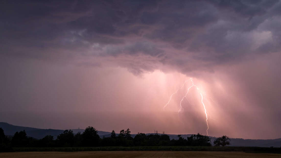
But during the course of Monday, according to the experts from wetter.de , the low Daniela, which lies over the British Isles, increasingly determines what is happening. According to the weather forecast, the morning will initially be mostly sunny, but the clouds are expected to become more numerous in the north-west and west and bring the first rain showers with them. In the afternoon, heavy rain showers and thunderstorms are expected in the western half and later in the Alps, with squalls and hail in places.
The cool air flows into Germany from the west and displaces the hot air in the east. “The whole thing is not entirely unturbulent,” explains DWD meteorologist Felix Dietzsch in the current warning video. The German Weather Service (DWD) warns of a thunderstorm situation from Trier to Rostock. Along the air mass boundary, thunderstorms are forming over parts of Germany, bringing with them a lot of wind. In extreme cases, the DWD weather experts expect hurricane-force gusts of up to 100 km/h. Particularly tricky: Due to the drought in recent weeks, trees and branches can break even at low wind speeds.
After the heat, Tief Daniela brings thunderstorms with hurricane-like gusts at over 100 km/h
- Thunderstorms with gusts of 60 to 70 km/h
- Occasional thunderstorms with heavy gusts of wind up to 100 km/h are possible
- Locally also hurricane-like gusts “in extreme cases over 100 km/h”
In the eastern half of Germany, on the other hand, the weather remains sunny and dry for longer. Only in the late evening and in the night of Tuesday are there severe thunderstorms in the east. After that it cools down significantly.
Weather in Germany: Rain showers will cause the temperatures to drop on Tuesday
A mixture of sun and clouds with a few showers will follow on Tuesday. It gets friendliest in a strip from Baden-Württemberg to Saxony.
South of the Danube it rains heavily at times, it only gets drier in the afternoon. With a strong north-west wind, temperatures will reach maximum values of 18 to 23 degrees in the north and 24 to 28 degrees in the south.
Weather in Germany: Wednesday and Thursday bring normal summer temperatures
The following two days are waiting for a normal summer weather, according to wetter.de , the extreme heat is over for the time being. On Wednesday and Thursday it will be sunny at times and mostly dry, only near the Alps is there a higher risk of showers and thunderstorms.
Temperatures range from 18 to 28 degrees. Only in the southwest can 28 to 32 degrees be reached on Thursday.
Weather in Germany: On Friday, rain will cause temperatures to drop
On Friday the weather from the Alps to the low mountain ranges will become increasingly thundery as the day progresses. In the east it is cloudy, although it can also rain. With the rain, the temperatures drop quickly, at the North Sea it is a maximum of 20 degrees. It will be warmer inland and in regions where it does not rain.
Weather in Germany: The weekend will bring rain first, then sun
At the weekend there will still be a few thunderstorms in the south-east and rain in the east. Temperatures hover around 25 degrees, in rainy areas also below. It remains dry, especially on the coasts, where the wind pushes the temperatures down to 20 degrees.
According to current forecasts, Sunday will be drier across Germany. Summer could come back and then probably bring the sun back with it.


